isodng
adsgsd
dfbgisfdg
dsfhdfgh
dfgh
fdgh
why shadowmap explorer?
Plan accurate sunlight conditions for your photo shoot. Save yourself unnecessary trips.
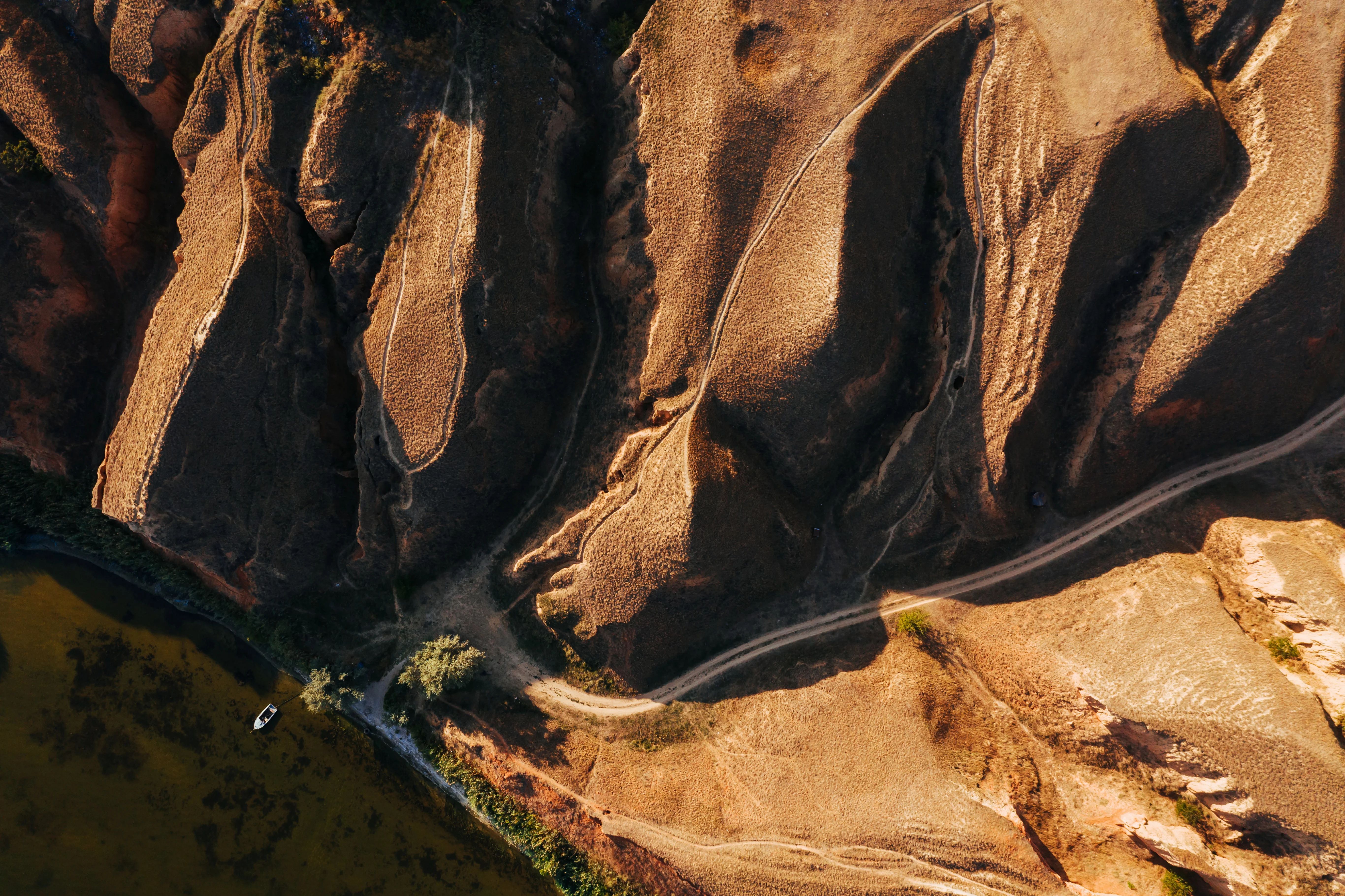
Get clarity on sunlight and shadow conditions. Anywhere on Earth, anytime. We are helping photographers, location scouts, aerial & drone filmmakers, hikers, and travelers to get that perfect preparation, and plan efficiently. Shadowmap EXPLORER provides full camera freedom to view landmarks, travel routes or booked accommodation from all angles. Light, shadow, perfect day.
Foto
Visualisierung
Präzise Visualisierung von Sonnenlicht & Schatten
Weltweite Verschattungsanalyse, in Echtzeit.
Freie Auswahl von Datum & Uhrzeit
Sonnenlichtsimulation für beliebige Zeiträume einfach per Schieberegler.
Sonnenpfad & Kompass
Behalte die Sonne im Blick und plane dein Projekt.
Volle Kamerafreiheit
Komplette Kamerafreiheit inkl. Brennweiteneinstellung. Perfekt für die Planung von Drohnenaufnahmen oder Architektur-Visualisierungen.
MEHR ERFAHREN
Erhellende Einblicke
MEHR ERFAHREN
Erhellende Einblicke
MEHR ERFAHREN


